![[STAGING] Hudson Memory](https://staging.hudsonmemory.org/wp-content/uploads/2026/03/cropped-Hudson-Memory-Logo.webp)
![[STAGING] Hudson Memory](https://staging.hudsonmemory.org/wp-content/uploads/2026/03/Hudson-Memory-Logo-mobile.png)
From the collection
1855 Map of Hudson

Type:
Communication Artifact — Documentary Artifact — Map
Technique
Lithograph
Creators:
Lithographed and printed by Bevan & Boell; Published by John Bevan
Date created:
1855
Physical Dimensions:
49 5/8″ x 41″
Object number:
P.13.00.50
Building location:
On display in the archives reading room
The 1855 plat map of Hudson, Ohio, was printed 56 years after the founding of Hudson and is one of the oldest surviving maps of the town. The map retains invaluable information such as place names, an extensive business directory as well as boundaries and physical features that have been modified or replaced by modern development. The hand-colored map also features seven lithographic views of prominent buildings and homes, some of which are no longer in existence.
The map received conservation treatment at the ICA – Art Conservation (ICA) in 2017, thanks to a grant from the Federal Institute of Museum and Library Services (IMLS) awarded by the State Library of Ohio.
More images
1855 map of Hudson, Ohio (p.13.00.50) 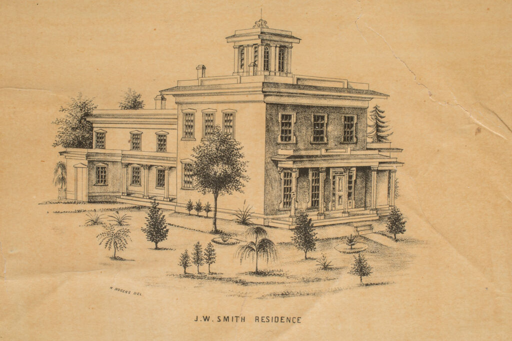
J.W. Smith house from 1855 map of Hudson, Horace Rogers, artist 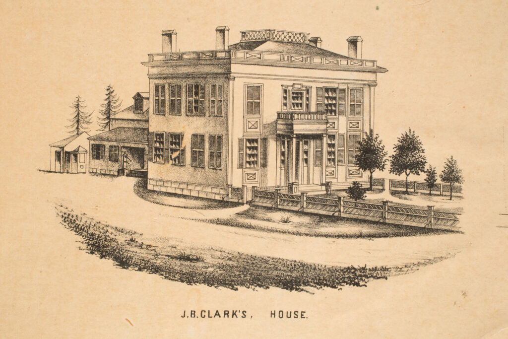
J.B. Clark’s house, from 1855 map of Hudson 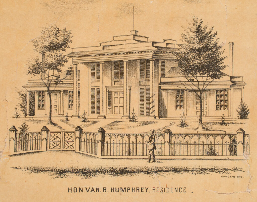
Judge Van Rensselear Humphrey house, from 1855 map of Hudson. Horace Rogers, artist. 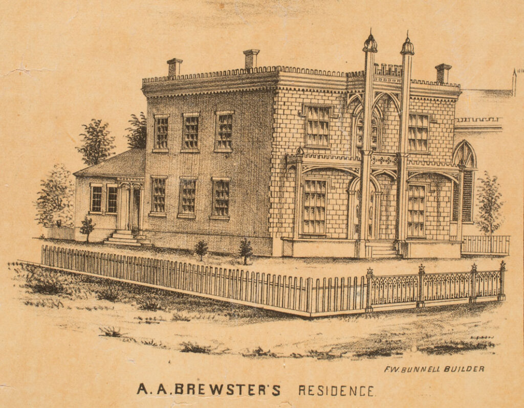
A.A. Brewster’s home from 1855 map of Hudson 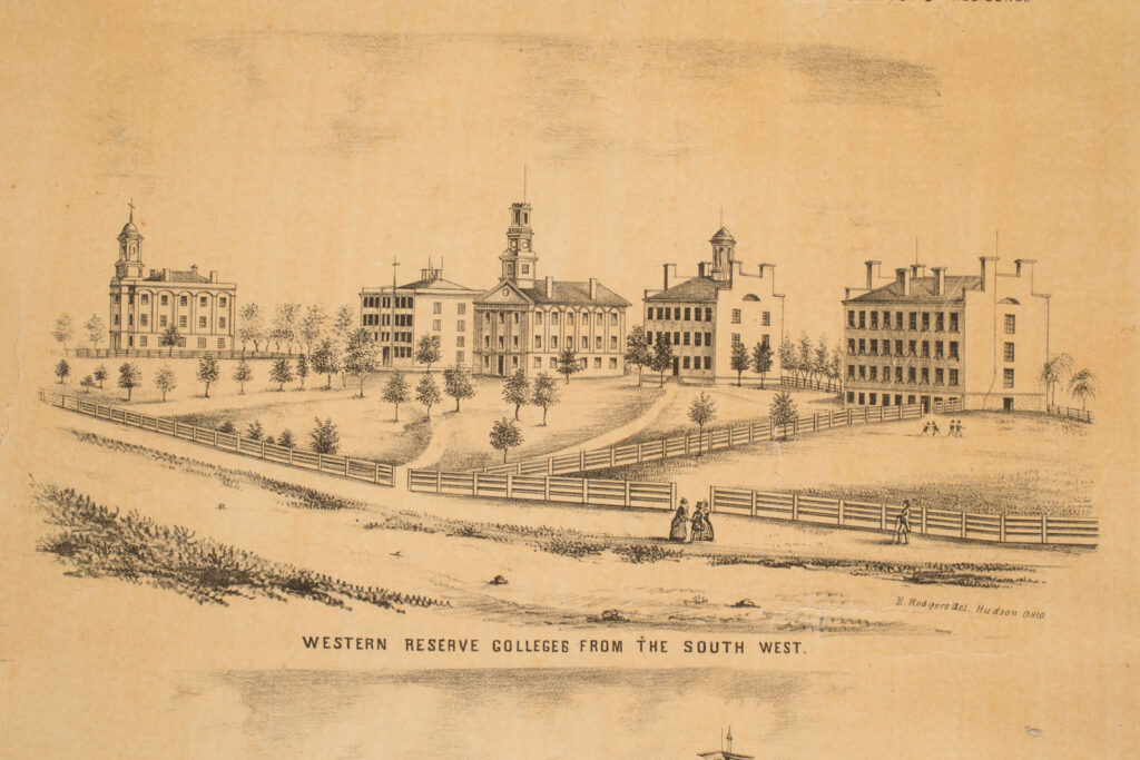
Western Reserve College, from 1855 map of Hudson, drawing by Horace Rogers 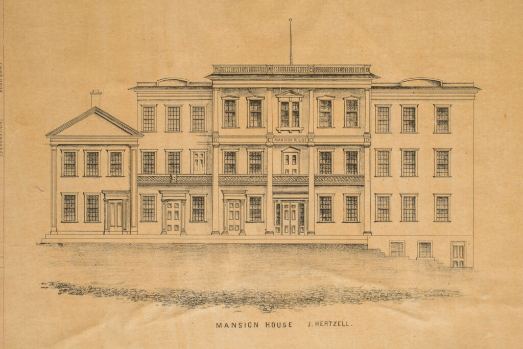
Mansion House, from the 1855 map of Hudson, Ohio 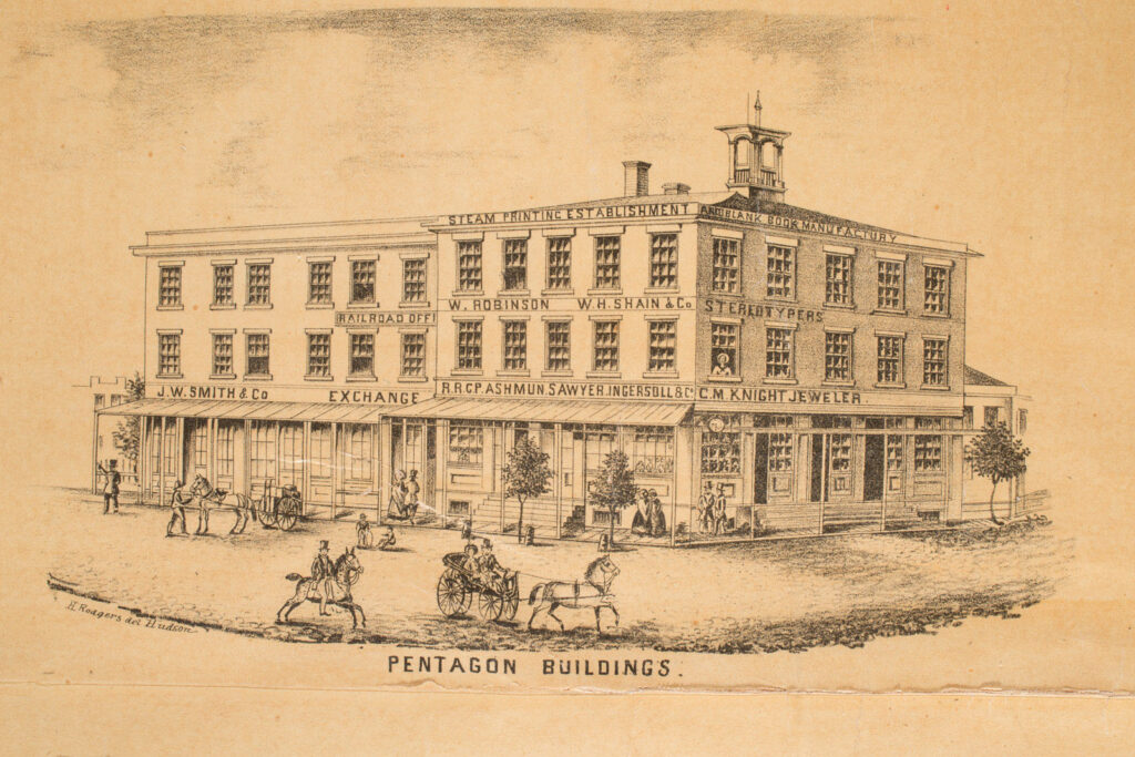
Pentagon building. Sketch by Horace Rogers, from 1855 map of Hudson (P.13.00.50).